
Harwood Dale Forest Plan
About
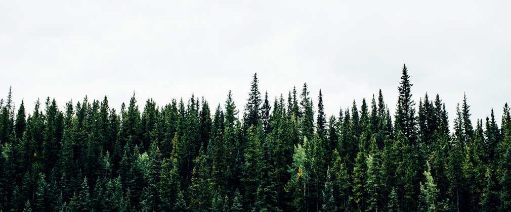
Hardwood Dale Forest is an area of 748.7 hectares of primarily coniferous woodland with some broadleaf coverage situated in North Yorkshire. The woodland is situated with 3 kilometres of the North Sea coastline and is surrounded by heather moorland to the north and west, with farmland around the south and east. The Forestry Commission acquired the land in the 1920’s and established a woodland shortly afterwards.
The forest is a prominent feature in the local landscape of the North York Moors National Park with the woodland itself being planted on a gradually rising former upland moor and rough pasture land. At its highest point Pye Rigg Howe, in the north, the forest rises to 240 metres above sea level.
At the start of the previous forest plan, in 2009, the forest was largely more coniferous than it is now, and plans to become. Consequently the increase in species and structural diversification is having a positive impact on the forests contribution across the landscape. The forest is also popular with local residents of the nearby towns and villages who use it frequently for recreational walking and dog walking, as well as horse riders making regular use of the bridleways.
Objectives
The long term vision for Harwood Forest is to maintain the natural heritage sites, consider the selection for an alternative main tree species to boost resilience and diversity of the forest.
Environmental
• Maintain the land within our stewardship under UKWAS certification, to be measured by independent surveillance audits.
• Maintain the cultural and heritage value of these woods, to be measured by Natural England, English Heritage, Non-Government Organisations and FC systems accordingly.
Social
• Encourage communities to become involved across these woods, its management and direction through consultation in planning and participation in volunteering.
Economic
• Improve the economic resilience of these woods from a more diverse range of site appropriate conifer and broadleaf species, to be measured by the Production Forecast and Sales Recording Package.
• Encourage and support appropriate business activity in support of other objectives.
What we’ll do
The Harwood Forest Plan outlines management proposals including felling and restocking for 9 years from 2015 until 2024.
The planned areas of conifer, broadleaf and permanent open space creation during the ten years to 2024 are summarised in the table.

In addition to these defined operations, selective thinning and group-felling will be carried out on a small scale at five and ten year intervals.
We will Protect and, where appropriate, enhance all known sites of archaeological and ecological importance and all sites, regardless of their designation, will receive the same level of care during the planning and execution of forest operations. The operational planning system will ensure they are recognised and the proper measures for their protection are in place before work begins.
The areas of small group felling carried out as part of the CCF silvicultural systems will be replanted to diversify species and age structure and to continue to provide a sustainable timber resource, whilst mindful of the projected impacts of climate change.
The development of future areas of broadleaf woodland will look to create a robust network of habitats linking conifer and broadleaf woodland with internal and external upland heath communities and riparian corridors. Natural regeneration will be the preferred method of establishment with the expectation that birch and willow species predominate.
This table illustrates how the plan will progress:
