Broxa Forest Plan
About
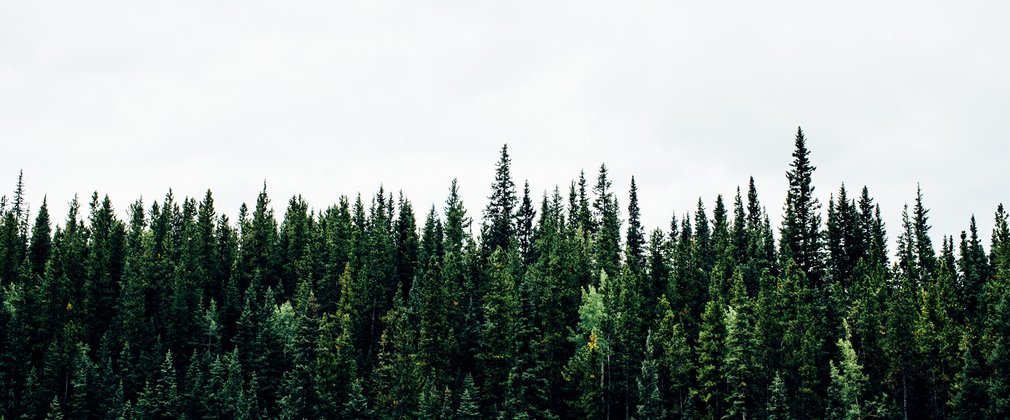
Broxa forest covers an area of 730 hectares of mixed coniferous and broadleaved woodland and are situated at the southeast of the North York Moors National Park, within 10 kilometres of Scarborough.
Objectives
The overall long-term vision is for its continued contribution as a productive forest. Felling will generally move away from clear felling towards Lower Impact Silvicultural Systems (LISS).
Wildlife
Protect and, where appropriate, enhance all known sites of ecological importance:
- improve the resilience of the forest and natural environment to pests, diseases and wildfires, and realise the potential of this forest for nature and wildlife, with a particular focus on diversification of species and structure.
- increase the proportion of native broadleaf cover, particularly across areas of Plantation on Ancient Woodland Sites (PAWS), riparian zones and along steep-sided scarp slopes.
- maintain the ecological value of the forest, including through the continuation of PAWS restoration through felling and thinning programmes.
- reduce the area of clearfell by managing stands through LISS regeneration felling.
People
- maintain the woodlands contribution to the landscape character NYMNPA Langdale Forest landscape character area. On a scale of low/medium/high, landscape sensitivity is medium.
- improve landscape impact through the use of appropriate silvicultural systems.
- maintain the cultural and heritage value of Broxa forest. Protect and, where appropriate, enhance all known sites of archaeological importance.
Climate
- continue the reduction of larch as a component within mixed stands, consider strip and group felling in pure stands and increase rhododendron control, especially within or adjacent to larch crops.
Economy
- maximise and maintain a sustainable supply of timber from a forest that has both structural and species diversity, utilising a range of site-appropriate conifer and broadleaf species.
What we will do
Broxa Forest Plan outlines management proposals including felling and restocking for 10 years from 2025 to 2035.
The planned areas of conifer, broadleaf and other habitats during the ten years to 2035 are summarised in the table below.
| Habitat type (based on principle species planted) | Area – hectares | % of total area | ||||
| 2025 | 2035 | 2055 | 2025 | 2035 | 2055 | |
| *Broadleaved; mixed/yew woodlands. | 201.4 | 207.4 | 230.7 | 27.6 | 28.4 | 31.6 |
| Coniferous woodlands | 486.3 | 459.5 | 430 | 66.6 | 62.9 | 58.9 |
| Acid grass land, upland heathland, upland birch woods, upland mixed ashwoods, upland oakwood | 42.3 | 63.1 | 69.3 | 5.8 | 8.6 | 9.5 |
In addition to these defined operations, selective thinning and strip felling will be carried out.
Area managed through LISS will be replanted to diversify species and age structure and to continue to provide a sustainable timber resource, whilst mindful of the projected impacts of climate change.
The development of future areas of broadleaf woodland will look to create a robust network of habitats linking conifer and broadleaf woodland where natural regeneration of suitable species will be the preferred method of establishment.
| Felling | Area - hectares | % of total area (excl. SSSI) | Projected volume (m3) |
| Clearfell 2025 – 2028 | 50.11 | 6.86 | 18409 |
| Clearfell 2028 – 2035 | 32.71 | 4.48 | 8008 |
| Net Area to be managed under LISS | 70.62 | 9.67 | 28248 |

