Camel Valley Forest Plan
About
The Plan area is made up of four substantial woodland blocks totalling 686 hectares within the catchment of the River Camel in Cornwall. The Plan area sits within an intimate wooded valley landscape and provides both a visual feature and recreational attraction for the surrounding area.
The forests are part of the nation's forests and stretch from Helligan and Shell in the north to Hustyn in the south and all are within close proximity to the urban settlements of Wadebridge and Bodmin.
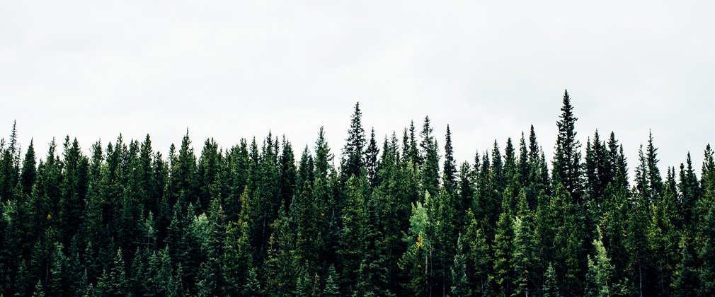
The public forest here is a predominantly ancient woodland having been planted with conifer to address the national timber shortage of the early Twentieth Century. The area is now known to produce high quality Sitka spruce and Douglas fir which make up the majority of the trees here supplemented primarily with beech and western hemlock. Areas of remnant ancient semi-natural woodland do remain and are made up of oak and birch with ash and alder. Most of the areas are actively managed to provide timber for local and national businesses, and to improve the quality of the remaining tree crop.
The Plan area is ecologically rich with habitat including Wet Woodland and Lowland Mixed
Deciduous Woodland used by otter, dormice, bats and nightjar as well as other important flora and fauna species. This is confirmed by the River Camel SSSI and SAC which dissects the Plan area and is in unfavourable recovering condition.
The entirety of Bishop’s Woods, Hustyns, Eastwood, Shell and parts of Lower Helland. The Camel
Trail is a very popular cycling and walking route through north Cornwall from Wenford Bridge to
Padstow and traverses the Plan Area.
Objectives
The core aim of the Plan is to begin to progress the 50 Year Vision by producing woodlands with increased conservation, recreation and landscape benefits whilst maintaining a viable timber output. The long term aim of management is to continue to sustainably produce timber whilst providing a forest rich in wildlife, attractive to people and increasingly resilient to climate, pests and diseases.
The social, economic and environmental objectives of management are:
- The continued production of sustainable and marketable woodland products.
- The protection and enhancement of woodland and open habitats and their associated species.
- To protect, enhance and restore areas of ancient woodland in line with the ‘Keepers of Time’ policy.
- The restoration and management of the Site of Special Scientific Interest and Special Area for Conservation.
- The provision and maintenance of recreation facilities.
- The delivery of well-designed proposals that comply with landscape design principles in keeping with the local landscape character.
- The conservation, maintenance and enhancement of cultural and heritage assets.
What We’ll Do
The current plan outlines management proposals including felling and restocking over several decades, with felling licence approval for operations up until 2028.
The Plan makes provision to restore the River Camel SSSI and SAC through wholesale conifer removal. Other areas identified as PAWS will be managed as mixed woodland to maximise their productive potential, with the aim of a gradual return to native woodland.
The Plan makes provision to ensure proposals are in keeping with the enclosed farmed and wooded landscape Implementation and maintenance of an environmental corridor system will continue to increase diversity of habitat and internal landscaping.
The planned areas of clearfelling, restocking and permanent open space creation during the ten years to 2028 are summarised below.
Clearfelling of 65.3ha of conifers. Restocking/regeneration of 49.9ha conifers and 18.3ha broadleaves and 9.3ha of open space creation.
In addition to these defined operations, ongoing thinning and selective felling of both conifers and broadleaves will be carried out in the plan area at five to ten year intervals.
The species composition will also change from 58% conifer, 40% broadleaf and 2% open space in 2018 to 46% conifer, 50% broadleaf and 4% open space in 2028.

