Canonteign Forest Plan
About
Canonteign forest sits on an elevated plateau, over 220m above sea level at its highest, 1.2 km to the south west of the village of Christow on the western flank of the Teign Valley. To the north and west and east the land is mainly improved grassland. To the south the land drops steeply into a granite strewn wooded valley. It is here that we find the majority of Canonteign's oak dominated ancient semi-natural woodland while to the east the land again falls away quickly into the valley.
The Canonteign forest is a significant feature in the Dartmoor National Park landscape and is an integral part of the Teign valley which is noted for its high proportion of high quality steep wooded valley sides.
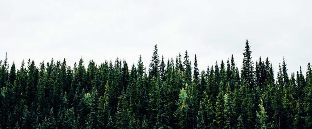
The forest is predominantly made up conifer stands with outstanding crops of Douglas fir and Sitka spruce, growing at a high yield and quality, many of which are on registered ancient woodland. On the plateau clearfell continues to be the most appropriate form of management due to shallower rotting depth and high wind exposure. Whilst on the valley sides and bottoms the development of low impact silvicultural systems has been ongoing for several decades and can be continued, with very large fir trees a notable feature of these areas.
Within the woodland the remnants of the old Shuttamoor mine is situated with its accompanying settling ponds which in turn feeds the leat that goes on to form Canonteign Falls.
Much of the Nation’s forests here are ancient woodland having been planted with conifer to address the national timber shortage of the early Twentieth Century. The area is now known to produce quality fir and spruce log which makes up the majority of the tree cover supplemented primarily with beech and oak. Areas of remnant ancient semi-natural woodland do remain and are made up of oak and birch with ash. Most of the areas are actively managed to provide timber for local and national businesses, and to improve the quality of the remaining trees.
The Plan area is ecologically valuable with habitat such as Priority Lowland Mixed Deciduous Woodland used by bats and raptor as well as other important flora and fauna species.
All of the Plan area is freehold and has been designated Open Access, confirmed by the Countryside and Rights of Way Act. The woodlands are quietly popular with local walkers and riders.
Objectives
The core aim of the Plan is to begin to progress the 50 Year Vision by producing woodlands which continue to sustainably produce timber whilst providing a forest rich in wildlife, attractive to people and increasingly resilient to climate change, pests and diseases.
The social, economic and environmental objectives of management are:
• Exemplary forest management practice to UKWAS standards
• The continued production of sustainable and marketable woodland products.
• Protect and enhance woodland and open habitats and their associated species.
• To protect, enhance and restore areas of ancient woodland in line with the ‘Keepers of Time’ policy.
• The provision and maintenance of recreation facilities.
• Deliver well-designed forests that both protect and enhance the internal and external landscape in keeping with the local landscape character.
• To conserve, maintain and enhance cultural and heritage assets.
What We’ll Do
The current plan outlines management proposals including felling and restocking over several decades, with felling licence approval for operations up until 2031.
The Plan makes provision to develop the complex and dynamic plantation compositions of quality fir and spruce shelterwood forest. Areas identified as Plantation on Ancient Woodland Sites will be managed as mixed woodland to maximise their productive potential, with the aim of a gradual return to native woodland.
The Plan makes provision to ensure proposals are in keeping with the enclosed farmed and wooded landscape. Implementation and maintenance of environmentally minded corridor will continue to increase diversity of habitat and internal landscaping.
The planned areas of clearfelling, restocking and permanent open space creation during the ten years to 2031 are summarised below.
Clearfelling of 25ha conifers. Restocking/regeneration of 17ha of conifers, 4ha of broadleaves and 4ha of open space.
The species composition will also change from 63% conifer, 31% broadleaf and 6% open space in 2021 to 55% conifer, 37% broadleaf and 8% open space in 2031.
In addition to these defined operations, ongoing thinning and selective felling of both conifers and broadleaves will be carried out across the Plan area at five to ten year intervals.

