Visitor information
Opening hours
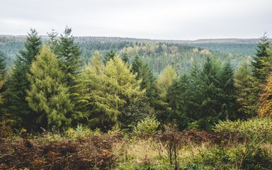
Broxa is open from dawn to dusk.
How to find us
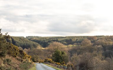
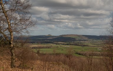
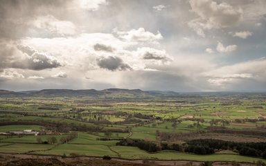
Broxa is located approximately five miles north west of Scarborough.
Sat Nav Postcode:
YO13 0JTBy Car
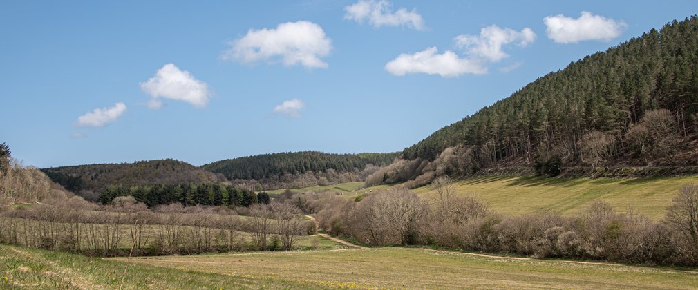
Follow the signs from the A171 in Burniston marked 'Forest Drive'. This leads out of Burniston to the very top of the plateau. At the 'T' junction at the hill top turn right. Continue along this road, signed 'Harwood Dale', for a little over a mile to reach the forest.
OS Grid Ref
54.336088167854, -0.51730147402771
Parking and prices
Parking is located at Reasty Hill Top. The below car parking charges are being introduced soon.
1 hour - £1.50
Half day - £3
Full day £5
Forestry England grows, shapes and cares for over 1,500 of England's forests and woodlands.
Looking after these special places costs millions of pounds every year. Money raised from car parking is spent on these forests and woodlands that we care for. With your help, we will grow more forests and woodlands, create more habitats for wildlife and keep them as great places for you to visit.
The money raised from our car parks supports our work and the forests you love.
Additional information
There are no designated accessible parking spaces at this forest. View our easy access trails page to find other forests with accessible parking.
Facilities and access
- Assistance dogs welcome
- Dogs allowed
Contact details
Things to do
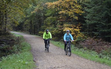
Activities at Broxa Forest