Visitor information
Opening hours
Sneaton Forest is open 365 days a year, dawn until dusk.
How to find us
Sneaton Forest is located approximately five miles south of Whitby.
By Car
From Whitby follow the B1416 south crossing the River Esk at Ruswarp follow the roads for about three miles until it turns sharply left (east). There are signs saying May Beck and Byway to Falling Foss.
OS Grid Ref
54.420091079416, -0.63184261322021
Parking and prices
Parking charges apply at Sneaton Forest (Falling Foss and May Beck)
Pay for your parking online, by phone or use the RingGo app. Pay within 48 hours of your visit.
Sneaton Forest has two car parks, Falling Foss and May Beck.
Members: This site requires you to display your membership car disc when parking here. Only one disc is allowed per membership. If you can't find your disc please contact membership@forestryengland.uk.
Free parking for Forestry England national members only. No other membership type applies.
Parking Charges
| Parking Charges | |
|---|---|
| Up to 2 hours | £3.50 |
| Over 2 hours | £6.00 |
Additional information
There are 2 accessible parking spaces in Falling Foss Car Park.
There are 2 accessible parking space in May Beck Car Park.
Facilities and access
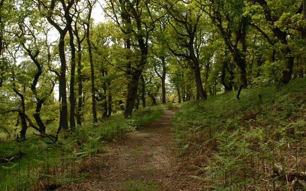
There are no waymarked walking trails, and no easy access route.
- Assistance dogs welcome
- Dogs allowed
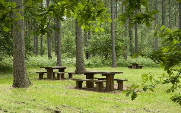
- Picnic area
Contact details