Rogate Forest Plan
About
Rogate Forest lies to the North-East of Petersfield in West Sussex and is located within the South Downs National Park. The wood is managed by the Forestry Commission under a freehold arrangement, with the exception of two small sections in the North of the Block which are managed by the Forestry Commission under a leasehold arrangement.
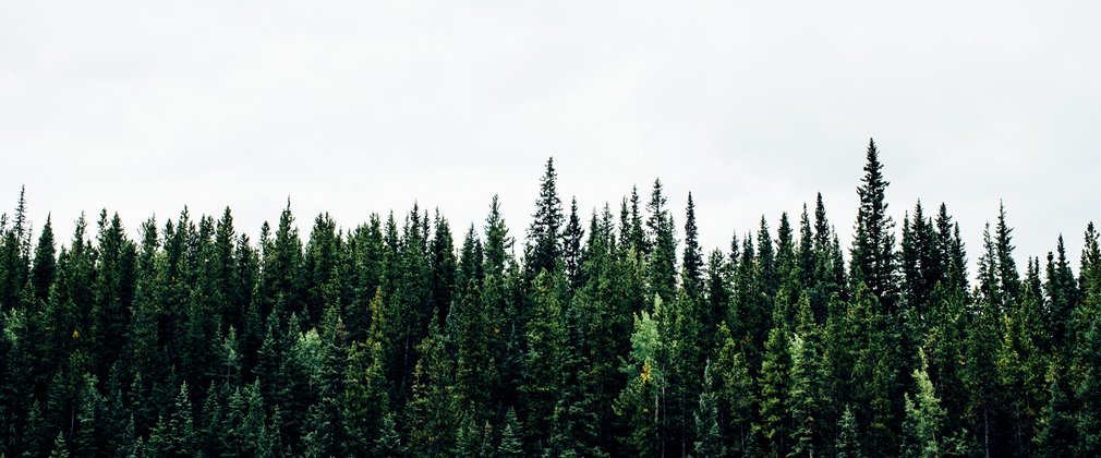
The forest spans 330.5 hectares and is largely comprised of Conifer tree species, the most common being Scots Pine, Corsican Pine and Douglas Fir. Among the Broadleaf species the most common are Birch, Beech and Oak. Significant areas of the woods have been classified as ASNW and PAWS.
There are no scheduled archaeological sites within Rogate Forest, but several of the woodlands do border Special Sites of Scientific Interest (SSSI). The woods are a popular location for informal recreation and are used by the public for activities including walking and dog walking. Public access is encouraged and a network of Countryside Rights of Way run through the blocks including a 64 mile long walk called The Serpent Trail. Organised recreation events have successfully gained permission to hold events here in the past including licensed game shoots, motorsport events and mountain bike races.
Objectives
The objectives of management here are to:
• Maintain and increase the native composition of ancient semi-natural woodland.
• Initiate restoration of planted ancient woodland sites to native and honorary native woodland.
• Take opportunities to increase the nature conservation value of existing habitats and enhance and support the development of open space.
• Provide, maintain and enhance where possible the recreational capacity of the woodland.
• Maintain and increase the species and age diversity of the woodland.
• Control invasive plant species and reduce their impact across the sites.
• Provide a regular supply of quality timber to support local employment and local timber processing industries.
What we’ll do
The operations will run from January 2016 to January 2026. During this time 1.2 hectares of Conifers trees will be felled and 28.2 hectares of Conifers thinned while 8.9 hectares of Mixed woodland will be created using natural regeneration. 240.6 hectares will be managed under a shelterwood system, 4.4 hectares of wet woodland will continue to be managed as will 14.8 hectares of coppice and 16 hectares of permanent open space/ 15.6 hectares will be utilised as a research plot or seed orchard and the 0.9 hectares of car park space will continue to be managed.
The species composition will also change from 56% conifer, 22% broadleaf, 11% mixed woodland, and 11% open habitat/carparks and buildings in 2016 to 33% broadleaf, 63% mixed woodland and 4% open habitat/carparks and buildings in 2026.

