Matterdale Forest Plan
About
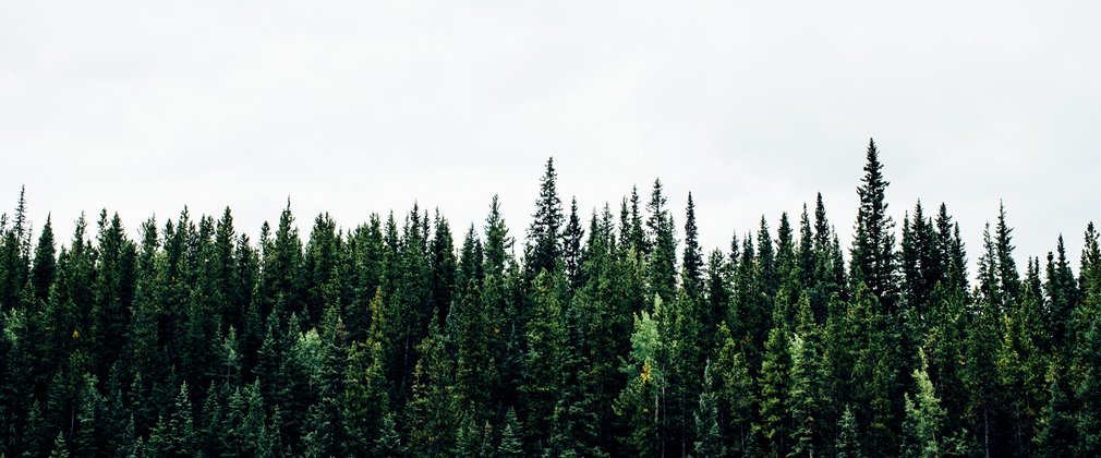
Matterdale is situated within the Lake District National Park to the south of the A66 corridor on the gently sloping land below the hills of Matterdale Common. The forest is freehold and occupies an area of 291 hectares. Originally planted wholly with conifers between 1960 and 1965 to a geometric ride infrastructure with timber production being the main objective, these crops have been largely clear-felled. Restocking is based on organic shapes that are less intrusive on the landscape and provide increased conservation and recreational value.
Thornsgill Beck features as a significant watercourse running through the forest, into the River Derwent and on to Bassenthwaite Lake. The forest is contained within Bassenthwaite Lake catchment area and as such, management aims for the forest include protecting the water quality and health of the lake. The western bank of Thornsgill Beck is the site of two important geological rocky outcrops with Site of Special Scientific Interest (SSSI) designation as part of the wider Thornsgill Beck, Mosedale Beck and Wolf Crags SSSI. Additionally, there are some interesting crags formed from slate outcrops further to the south named Pencil Crags.
The forest is important in the landscape being highly visible from the A66 and the popular hill walks on Blencathra, Great Mell Fell and The Dodds. Traditionally levels of public use have been reasonably low, the forest used mainly by local dog walkers, cyclists and horse riders. Immediately adjacent are the highly popular facilities of Rookin House Activity Centre and Troutbeck Caravan Park.
Objective
Ongoing
• Manage all work in accordance with the District Strategic Plan, The Regional Forestry Framework, A Strategy for England’s Trees, Woods and Forests and the UK Woodland Assurance Scheme
• Consult and inform stakeholders, visitors and the local community about the ongoing and future management of the forest through local meetings, regional website and temporary information signing where appropriate
• Monitor levels of natural regeneration and manage accordingly
• Take into account developing advice on adapting to and mitigating against the impacts of climate change
The next 5 years
• Achieve the proposed felling and restocking plan
• Control levels of excessive conifer regrowth throughout the riparian zone
• Control levels of conifer regrowth on the external forest margins to ensure visual conformity
• Explore options to resolve the landscaping issue at the south western end of the forest
• Protect the SSSI’s, FC nature reserve and sheepfold during forest operations
• Ensure safety and usability of forest road network
• Ensure adherence to Bassenthwaite Lake Management Plan
What we'll do
Matterdale’s high visibility in the surrounding landscape means that the overall appearance of the forest and its external margins are an important consideration and further progress has been made since the previous forest design plan review in 2004. Extensive areas of mature conifer with associated harsh geometric boundaries have been clear-felled and restocking has been carried out to an approved organic design more in sympathy with the contours of the surrounding landscape.
The current plan outlines management proposals including felling and restocking over several decades, with felling licence approval for operations up until 2020.
For further information regarding species composition and the future management of Matterdale, please refer to the full plan below.

